Louth Town Council - Working with the community to make Louth a better place to live and work
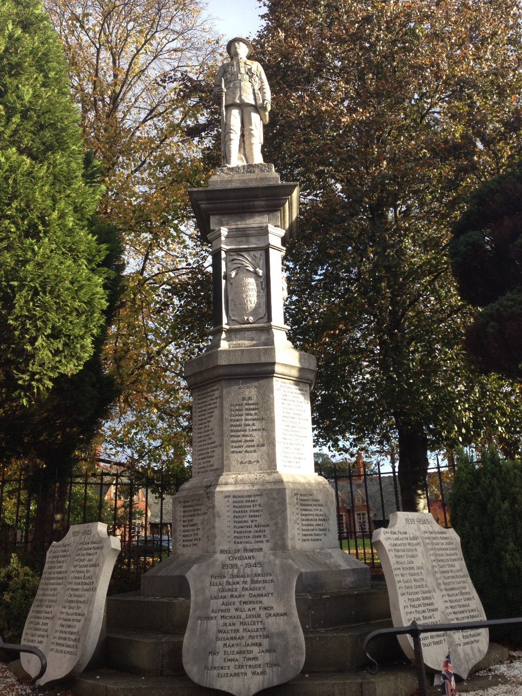
Louth’s Heritage & History
Louth is situated on the edge of the Lincolnshire Wolds and is commonly referred to as the ‘Capital of the Wolds’.
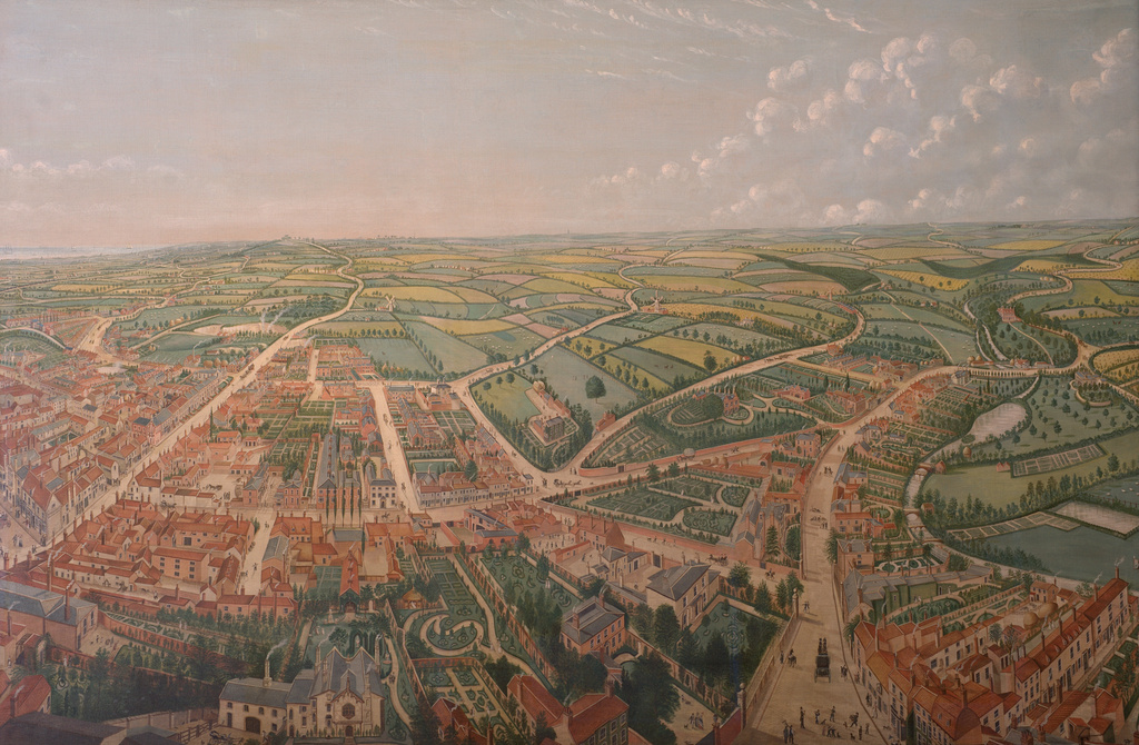
The market town originated in Saxon times either side of the River Lud where it was crossed by the ancient trackway along the east edge of the Wolds. The name Louth derives from Hlud or Loud, referring to the fast flowing river that powered up to 13 watermills.
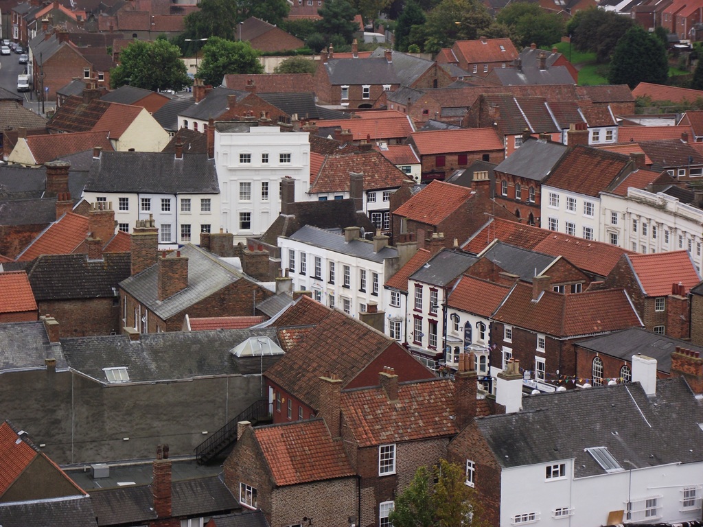
Louth is now the largest market town in the District of East Lindsey covering an area of 4,394 square miles and has a population of approximately 17,000 with approximately 8200 properties (2019).
At the time of the Doomsday Survey in 1086, Louth had a population of about 600 and was one of only five boroughs in Lincolnshire and of only fifty markets in England. The town boasts some fine examples of Georgian and Victorian architecture and has the Greenwich Meridian of zero longitude running through it.
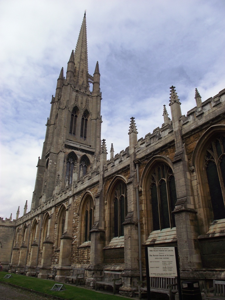
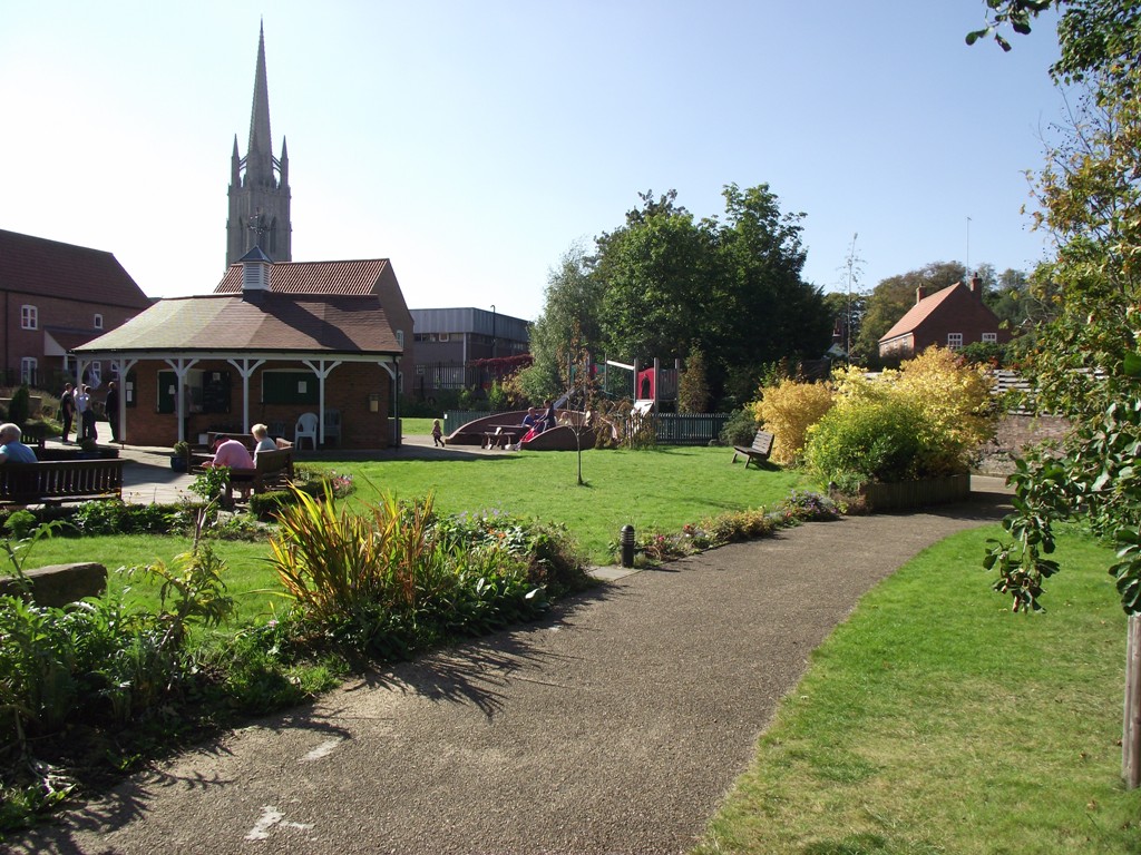
Louth is home to St. James’ Church, a nationally acclaimed fifteenth century perpendicular church with sixteenth century crocketted spire which rises 295 feet and is thought to be the highest parish Church of England spire in the country.
Louth also has an imposing mid-nineteenth century Town Hall which houses an imposing ballroom and the Compton theatre organ.
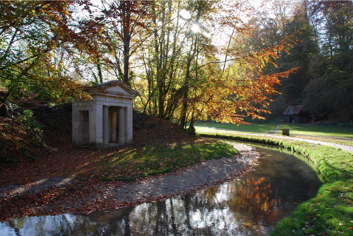
To the west of Louth lies the beautiful Hubbard’s Hills a picturesque steep sided valley formed by glacial melt waters. Hubbard’s Hills has Beech clad sides, a grassy floor and the river Lud flows through it. Hubbard’s Hills has been parkland since 1907 and is much loved and used for recreation and study. On 1st April 2009 the Hubbard’s Hills Trust Ltd was formed to manage the area.